What a fabulous walk! Our campsite overlooks the river so this walk track is accessible only a few metres away from our caravan door. During our time in Nannup we’ve walked Tills along the river bank several times each day.
Continue readingAuthor: Chris Riley
Three days in nannup
Nannup is a small town in the south west, not to far from Busselton. It’s an inland town built on the banks of the Blackwood river in a beautiful forest setting. In the 2016 census the population was 936, but that’s possibly grown a bit now. The town, once depended solely on forestry and farming (mainly beef), is now gaining popularity as a tourist destination, with the town developing a laid back artists vibe.
Continue readingWagin
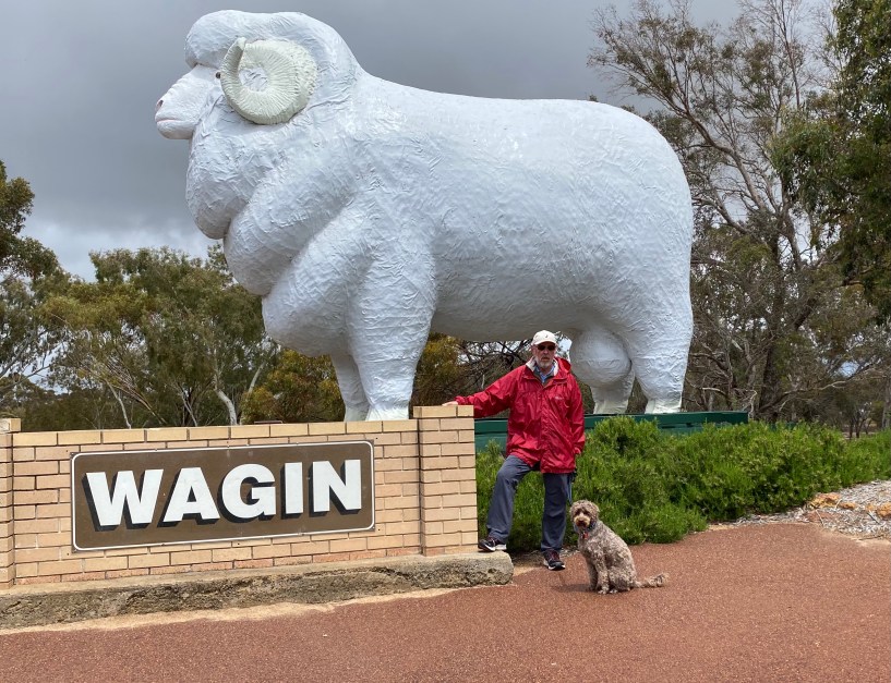
With the giant ram statue in town, there’s no prizes for guessing what sort of country town Wagin is. You’d be right if you guessed it’s an agricultural town. The township and surrounding farming areas occupies approximately 2000 square kilometres, with a populaton of under 2000. The mainstay of the farming is crops and, you guessed it, sheep.
Continue readingDumbleyung

The shire of Dumbleyung covers 2540 square kilometres with a population of 671. The town is small with a smattering of shops, most of which were closed on the Tuesday afternoon when we walked the Main Street. The general store was open though so we managed to get the supplies we needed.
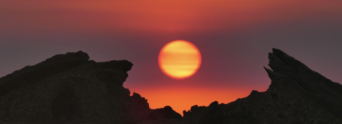
Tozer’s Bush Camp
Tozer’s bush camp started it’s life as a farm. Toze, the owner, came here as child and, along with his family, farmed the land until early this century. Apparently it was as Toze was preparing to clear more land, and was thwarted by a particularly long wet winter, followed by a spring bringing to life the myriad of wildflowers, that the light bulb moment came. If Toze could sit on his verandah and admire nature’s bounty, would other’s appreciate the opportunity to experience it too. His idea took shape, the necessary groundwork was laid, and by 2012 Tozer’s Bush Camp opened its gates to the public.
Busselton to Tozer’s Bush Camp
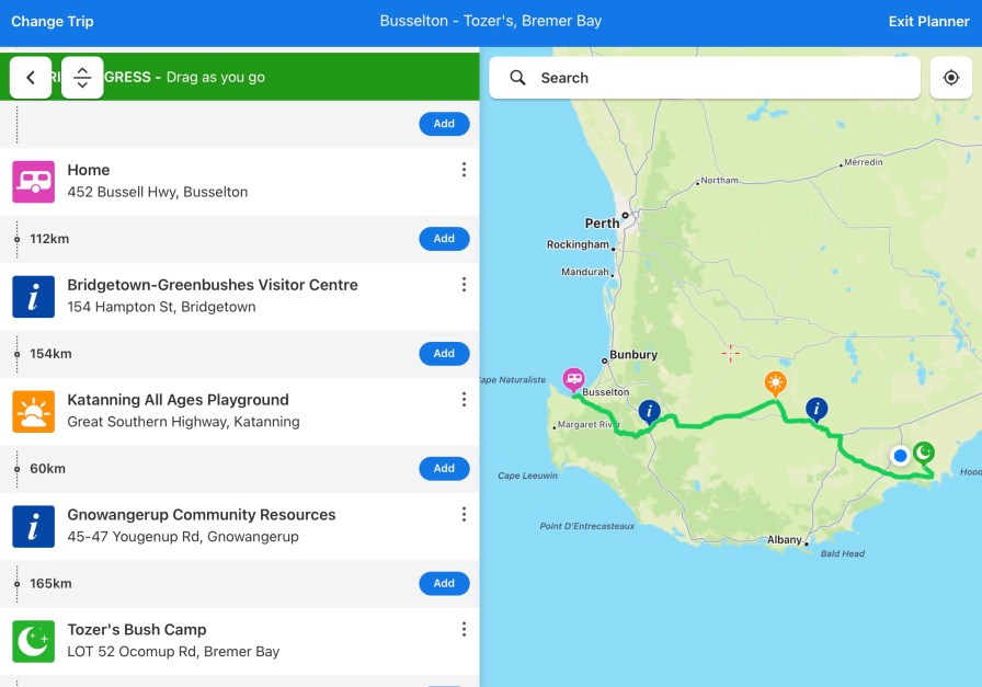
We left home at 7.30am and headed through the wheatbelt towns of Katanning and Gnowangerup towards our destination of Tozer’s Bush Camp, near Bremer Bay in WA’s Great Southern Region. We haven’t done a lot of travelling through the wheatbelt areas, so this was a change of scenery from the main highways which usually follow a more coastal route. It was a refreshing change to be meandering down rural winding roads with vineyards, crops, cows, sheep, dams and farmyard buildings to look at on the way.
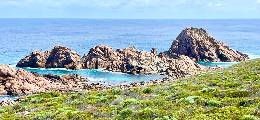
Continue readingSugarloaf rock to three bears
This 5.2km return walk on the Cape to Cape track is an easy section with lots of wildflower colour at this time of year. The track has a few rocky parts, and some steep sections, but these are all short so its not a difficult walk. After a leisurely breakfast we set off from Sugarloaf Rock around 11am.
The 2nd days walk
Sorry to disappoint anyone who was looking forward to following along for a few full days of Cape to Cape walking. The guys bailed out! There were reasons….. One reason was the second day was to have been from Ellensbrook Homestead to Rainbow Caves Road, which would have been around 15.5 kms, providing they could walk directly there across the mouth of the Margaret River. In the summer the rivermouth forms a solid, walkable sand bar, but in the winter, when the river breaks through the sandbar, the only way to the other side is to walk a reasonably boring additional 7 km detour, some of which is on main roads. Currently the sand bar is still forming, and they didn’t fancy the boring detour.
Continue reading

